
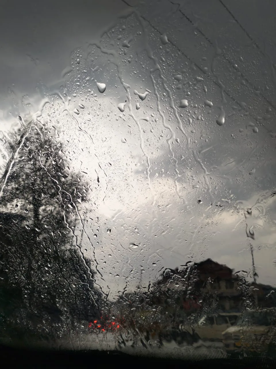
Jammu: Heavy rains in the Jammu region on Tuesday brought in cold wave-like conditions with day temperatures plunging up to 7.2 degrees Celsius below normal.
The India Meteorological Department (IMD) said that an active western disturbance has impacted the region for 36 hours, bringing widespread rainfall, a sharp fall in temperatures and disruption to normal life.
Jammu city recorded a maximum temperature of 23.2 degrees Celsius, which is 7.2 degrees below normal, marking a significant dip under persistent cloudy and rainy conditions, as per the IMD.
Similar trends were recorded across the region, including Katra at 20.5 degrees Celsius (6.7 degrees below normal), Batote at 14.2 degrees Celsius (5.8 degrees below normal), Bhaderwah at 16.6 degrees Celsius (5.2 degrees below normal) and Banihal at 17.1 degrees Celsius (3.2 degrees below normal), it said.
Heavy rains continued intermittently in most districts, leading to waterlogging in some areas and a chill in the air, officials said.
The rainfall activity remained pronounced across the Jammu division, with Katra recording the highest precipitation of 7.8 mm between 0830 and 1730 hours, followed by Jammu at 5.8 mm, Bhaderwah at 3.0 mm and Batote at 2.4 mm. Banihal also received 0.9 mm of rainfall during the same period.
The highway linking Kashmir with the rest of the country was closed after multiple landslides hit stretches between Digdol and Khooni Nallah in Ramban district.
“Traffic movement has been stopped in both directions – from Jammu towards Srinagar and vice versa – due to a heavy landslide. The road is completely blocked,” a Traffic Police spokesperson said.
Despite inclement weather, the pilgrimage to the revered Mata Vaishno Devi Shrine continued without major disruption, officials said.
The IMD has warned that two back-to-back western disturbances will affect northwest India, with peak intensity expected on April 7 and 8 over Jammu and Kashmir and Himachal Pradesh.
It has issued a heavy rain alert and cautioned about moderate to high risk of flash floods in parts of Jammu and Kashmir, Ladakh and Uttarakhand over the next 24 hours.
Rising humidity levels also reflected the prevailing moist conditions, with Jammu recording an increase from 53 percent in the morning to 88 percent in the evening.
In contrast, the Kashmir Valley witnessed comparatively lesser rainfall activity, with most stations recording either dry weather or light precipitation. Srinagar recorded a maximum temperature of 17.3 degrees Celsius, 1.5 notches below normal, while Qazigund and Kokernag registered minor rainfall over the past 24 hours.
The department is closely monitoring the system and has advised people to remain cautious, especially in hilly and landslide-prone areas, as intermittent rainfall may continue to impact normal life.
The weather department advised people to remain cautious, particularly in landslide-prone and hilly areas, as intermittent rainfall, gusty winds and thunderstorms may continue over the next couple of days.
Authorities have also issued advisories in several districts, including Ramban, Doda, Kishtwar and Poonch, warning of possible landslides, flash floods and shooting stones, and urging residents and travellers to follow official guidelines.
‘Medium’ danger avalanche warning in higher reaches of Kashmir
Authorities on Tuesday issued a ‘medium danger’ avalanche warning for the higher reaches of Ganderbal and Kupwara districts in view of a fresh wet spell in the Valley.
“Avalanche with medium danger level is likely to occur above 2600 metres over Ganderbal and Kupwara in the next 24 hours,” an official of the Jammu and Kashmir Disaster Management Authority said here.
People living in these areas were advised not to venture into vulnerable areas till the advisory is in force.
The warning was issued in the wake of a spell of rain in the plains and snowfall in the higher reaches of Kashmir.


