

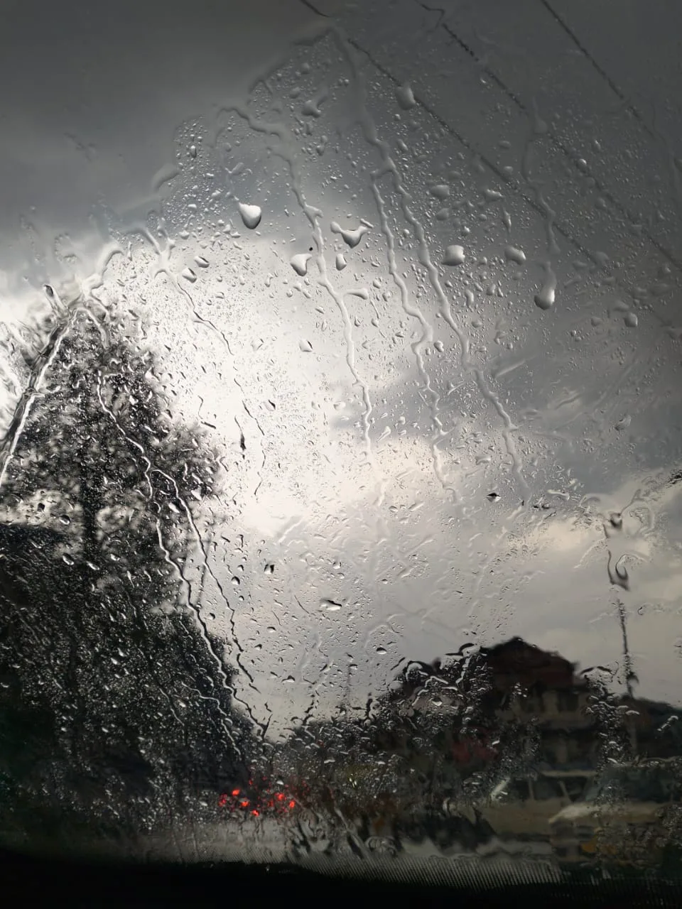
Srinagar: Most of Kashmir Valley as well as some Banihal and Bhaderwah areas of Jammu received snowfall on Saturday, officials said. Also, barring Srinagar and Qazigund, the minimum temperatures recorded a fall in Jammu and Kashmir, officials said.
The weather department has forecast rain and snowfall in J&K during the next few days.
A meteorological department official here told GNS in last 24 hours, Srinagar received 2cm of snowfall, Qazigund 13 cm, Pahalgam 32.9 cm, Kokernag 18.5cm, Gulmarg 8.2cm, Banihal 6.5 cm and Bhaderwah 3.0 cm. He said Jammu had 4.2mm of rain, Batote 17.4mm, Katra 8.2mm and Kathua 4.6mm of rainfall during the time.
Regarding temperature, he said, Srinagar recorded a low of 0.2°C against last night’s minus 0.1°C. Today’s minimum temperature, he said, was 2.5°C above normal for the summer capital, he said.
Qazigund, he said, recorded a low of minus 0.4°C against minus 0.6°C on the previous night and it was 3.5°C above normal for the gateway town of Kashmir.
Pahalgam, he said, recorded a low of minus 3.8°C against minus 2.9°C on the previous night and it was 3.7°C above normal for the famous tourist resort in south Kashmir’s Anantnag district.
Kokernag recorded a low of minus 3.9°C against minus 1.4°C on the previous night and it was 0.3°C below normal for the place, the officials said.
Gulmarg recorded a low of minus 8.4°C against minus 7.6°C on the previous night and it was 0.2°C below normal for the world famous skiing resort in north Kashmir’s Baramulla district, he said.
In Kupwara town, he said, the mercury settled at minus 2.8°C against minus 1.5°C on the previous night and it was 0.1°C above normal in the north Kashmir area.
Jammu recorded a low of 6.1°C against 8.7°C on the previous night. It was 0.9°C below normal for J&K’s winter capital, he said.
Banihal recorded a low of 0.2°C (above normal by 0.5°C), Batote minus 0.5°C (below normal by 1.9°C), Katra 5.7°C (0.3°C below normal) and Bhadarwah 0.2°C (1.5°C above normal).
Ladakh’s Leh and Kargil recorded a low of minus 12.2°C and minus 13.8°C respectively, the official said.
The MeT department here has predicted wet weather to continue and said that widespread moderate to heavy snow over middle and higher reaches was expected from January 23-25.
In next 24 hours, he said, generally cloudy weather was expected with chances of fairly widespread light snow and rain over J&K.
“From January 23-25, there is possibility of widespread moderate snow (rain in Jammu) in plains and heavy snow over middle and higher reaches (60% chance),” he said, adding, “on January 26, there are chances of rain in Jammu region and Cloudy in Kashmir( 60% chance).”
The MeT official also urged people living in snowbound areas to remain alert and cautious while venturing in the places which are vulnerable to snow avalanches.
Kashmir is under the grip of Chillai-Kalan, the 40-day long harsh winter period that started on December 21. It does not mean an end to the winter either. It is followed by a 20-day-long period called ‘Chillai-Khurd’ that occurs between January 30 and February 19 and a 10-day-long period ‘Chillai-Bachha’ (baby cold) which is from February 20 to March 1. (GNS)


