

By: Mohd Amin Mir
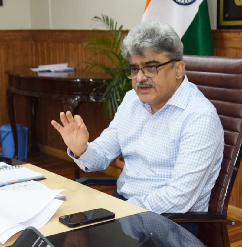
In a determined stride toward land governance reform, Jammu and Kashmir’s Chief Secretary Atal Dulloo has once again demonstrated the power of administrative leadership. By steering a high-level review meeting on the Digital India Land Records Modernization Programme (DILRMP), he signaled both urgency and long-term commitment to overhauling one of the region’s most arcane but foundational systems: the land record regime.
The initiative, part of a nationwide campaign under the Ministry of Rural Development, seeks to digitize Jamabandis (village record-of-rights), vectorize and geo-reference cadastral maps, modernize archival record rooms, and eliminate the endemic backlog of pending land mutations. At the heart of this transformation lies a promise as radical as it is simple: land ownership should be transparent, accessible, and indisputable.
But as any landowner or administrator in India’s Himalayan region knows, this is easier said than done.
An Inherited Labyrinth
Jammu and Kashmir’s land tenure system is a complex legacy of Dogra-era surveys, post-Partition resettlement patterns, and decades of quasi-formal mutations—some on paper, others entirely oral. Though the region has made strides in agrarian and tenancy reforms, the base map of land ownership remains riddled with inconsistencies: overlapping claims, outdated Jamabandis, lost Tatima Shajras (parcel sketches), and records that fail to reflect court decrees or family transfers.
“This is not just about digitizing paper—it’s about digitizing ambiguity,” said a senior revenue official attending the review meeting chaired by Chief Secretary Dulloo.
And therein lies the crux of the challenge.
A Leadership-Driven Model
Chief Secretary Atal Dulloo’s intervention has been timely and pointed. Recognizing the ground-level complexities, he has demanded that the Revenue Department shift from an incremental to a mission-mode approach. “The records must be accurate from the outset,” he stressed in the meeting, “and once completed, there should be no citizen grievances.”
By calling for capacity enhancement among newly deputed staff, and insisting on accuracy over speed, Dulloo has positioned the program not as a data-entry drive but as a systemic reinvention.
Observers noted his insistence on inter-departmental coordination—a crucial directive, considering that cadastral maps must align with GIS overlays, court decrees, and field survey data. The Chief Secretary’s vision is for digital records to not only reflect the present but to continuously update in real time.
Technology as an Enabler, Not a Crutch
At the heart of the program is NIC-JK’s customized software suite for digital entry, mutation, and real-time Jamabandi updates. According to Secretary Revenue Kumar Rajeev Ranjan, this software is already functional and shows promise in eliminating manual errors and bottlenecks. But as any seasoned data manager will attest, technology is only as good as the data it ingests.
Experts warn that a digitization project of this magnitude must follow what technologists call the “data hygiene chain”: data cleaning, verification, cross-validation, and real-time reconciliation with on-ground realities.
That is where the government must now turn its attention.
Error-Proofing the Digital Turn
To ensure the integrity of digitized land records, the following measures are recommended:
- Third-Party Verification: Introduce independent audit teams—comprising retired patwaris, land law experts, and digital cartographers—to vet a sample of entries from each tehsil.
- Tatima Mapping as a Precursor: Many oral or decree-based land transactions lack matching sub-division maps (Tatimas). Before any data is frozen digitally, physical Tatima preparation must be institutionalized.
- Citizen Review Portals: Establish a public portal where citizens can preview digitized records related to their land and file objections online before finalization.
- Geo-Spatial Integrity Checks: Use satellite imagery and Google Earth overlays to detect encroachments, overlapping survey lines, and mismatched boundaries.
- Revenue Court Synchronization: Integrate the databases of Tehsildar courts so that any judicial verdict affecting land rights automatically updates the central land record.
- Village-Level Awareness Camps: To reduce post-digitization disputes, organize panchayat-level camps with live record displays, explanations by officials, and real-time correction windows.
A Path to Equity and Growth
Once completed, the digitization of land records can usher in nothing short of a revolution. From reducing land litigation and easing the burden on tehsil offices to enabling secure property transactions and credit access for farmers, this reform can reshape the developmental landscape of Jammu & Kashmir.
It is not just about governance; it is about justice, equity, and dignity—especially for the rural poor, who often lack the paperwork to assert what is rightfully theirs.
The introduction of paperless registration—as hinted by Financial Commissioner Revenue Shaleen Kabra—will also streamline the property market, curb corruption, and speed up approvals for industrial and housing projects.
A Word of Appreciation
Chief Secretary Atal Dulloo deserves commendation not just for his administrative oversight but for his visionary clarity. In an era when most bureaucrats are content with incrementalism, Dulloo is pushing for a transformative model that aligns with global best practices.
Digitizing land records is not a headline-making reform. It requires perseverance, patience, and political will. Yet, as Jammu and Kashmir demonstrates, it may be one of the most powerful ways to secure democratic ownership in post-conflict societies.
Conclusion
Jammu and Kashmir’s land digitization journey is a test of both governance and grit. With the Chief Secretary’s assertive guidance and a mission-oriented bureaucracy, the region now stands at the cusp of transforming its most contentious asset—land—into a secure and accessible foundation for growth.
If implemented with precision and empathy, this program will not only digitize the land but also re-digitize the trust between state and citizen.

