• About us
  • Contact us
  • Our team
  • Terms of Service
Thursday, September 4, 2025
Kashmir Images - Latest News Update
Epaper
  • TOP NEWS
  • CITY & TOWNS
  • LOCAL
  • BUSINESS
  • NATION
  • WORLD
  • SPORTS
  • OPINION
    • EDITORIAL
    • ON HERITAGE
    • CREATIVE BEATS
    • INTERALIA
    • WIDE ANGLE
    • OTHER VIEW
    • ART SPACE
  • Photo Gallery
  • CARTOON
  • EPAPER
No Result
View All Result
Kashmir Images - Latest News Update
No Result
View All Result
Home TOP NEWS

Flood situation eases as water level in Jhelum, tributaries recedes

Images News Netwok by Images News Netwok
June 24, 2022
in TOP NEWS
A A
0
Incessant rains: Water level in Jhelum below danger level, say officials

Photo/Basharat Bashir Naik

FacebookTwitterWhatsapp

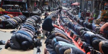
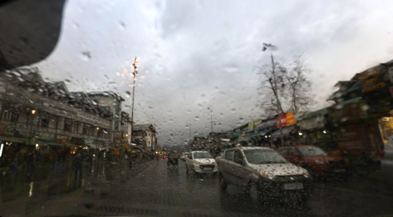
Srinagar: The flood situation in Kashmir Valley eased on Thursday as water level in Jhelum and other water-bodies receded considerably.

From reaching 22.09-ft at 8 p.m. on Wednesday, the water level in Jhelum at Sangam gauge in south Kashmir was at 18.29 at noon on Thursday, news agency GNS quoted an official of Irrigation and Flood Control department saying. However, he said the water level was still above the ‘flood declaration mark’ of 18-ft.

Related posts

Jhelum swelling, but situation under control: I&FC appeals for calm

Jhelum swelling, but situation under control: I&FC appeals for calm

September 4, 2025
Torrential rains create flood scare across J&K

Torrential rains create flood scare across J&K

September 4, 2025

At Ram Munshi Bagh here, the Jhelum was flowing at 19.2-ft at noon today. “The water level is expected to reduce further as the day progresses,” said the official. The water level was still above the danger mark of 18-ft when flood was declared in Srinagar.

At Asham in northern Kashmir’s Bandipora district, the official said, the Jhelum level was at 12.58ft, almost 2-ft below the mark when flood is sounded there.

Regarding some tributaries, the official said, the water level has receded below threat level now. He said Vishow Nallah at Khudwani Kulgam was flowing at 5.81 m against the flood mark of 7.0 m. At noon on June 22, the water level in Vishow Nallah at Khudwani Kulgam had reached 10.7 m, he said.

Similarly, he said, the level at Rambiyara Nallah at Wachi Shopian at noon was 1.99 m against the danger mark of 5.7 while the Lidder at Batkoot was flowing at 0.76 m against the danger level of 1.65 m.

Doodhganga Nallah at Barzulla here was flowing at 1.78 m against the dangerous mark of 3.8 m; Sindh Nallah at Doderhama was flowing 1.99 m against 3.36 m at last (June 22) noon.

The weatherman has also forecast improvement in the weather.

Previous Post

No adverse action against Centaur Hotel employees till their representation is heard, decided: HC to authorities

Next Post

LG chairs Unified Command meeting, reviews overall security scenario & arrangements for Shri Amarnath Ji Yatra

Images News Netwok

Images News Netwok

Next Post
Adequate arrangements made for Amarnath Yatra: LG

LG chairs Unified Command meeting, reviews overall security scenario & arrangements for Shri Amarnath Ji Yatra

Leave a Reply Cancel reply

Your email address will not be published. Required fields are marked *

ePaper

  • About us
  • Contact us
  • Our team
  • Terms of Service
E-Mailus: kashmirimages123@gmail.com

© 2024 Kashmir Images - Designed by GITS.

No Result
View All Result
  • TOP NEWS
  • CITY & TOWNS
  • LOCAL
  • BUSINESS
  • NATION
  • WORLD
  • SPORTS
  • OPINION
    • EDITORIAL
    • ON HERITAGE
    • CREATIVE BEATS
    • INTERALIA
    • WIDE ANGLE
    • OTHER VIEW
    • ART SPACE
  • Photo Gallery
  • CARTOON
  • EPAPER

© 2024 Kashmir Images - Designed by GITS.