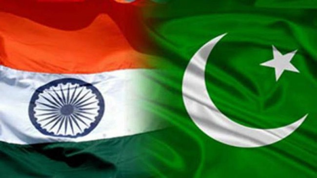
Islamabad/New Delhi: As Pakistan on Tuesday unveiled its “new political map” showing the entire Jammu & Kashmir and parts of Gujarat as its territories, India reacted swiftly dismissing it as “ridiculous assertions” that have “neither legal validity nor international credibility”.
“We have seen a so-called ‘political map’ of Pakistan that has been released by Prime Minister Imran Khan. This is an exercise in political absurdity, laying untenable claims to territories in the Indian State of Gujarat and our Union Territories of Jammu & Kashmir and of Ladakh,” the Ministry of External Affairs said in a brief statement in New Delhi.
“These ridiculous assertions have neither legal validity nor international credibility. In fact, this new effort only confirms reality of Pakistan’s obsession with territorial aggrandisement supported by cross-border terrorism,” it asserted.
Earlier, Prime Minister Khan released the new political map of Pakistan and said it was approved by the federal Cabinet on Tuesday.
The new map showed Pakistan frontier clearly marked with India with the entire Kashmir as its territory. However, the part of Kashmir and Ladakh border with China was not marked and described as “Frontier Undecided”.
Similarly, the Line of Control had been extended to the Karakoram Pass, showing Siachen as part of Pakistan. The LoC had been marked by a red dotted line.
The J&K had been described as “Disputed Territory – Final status to be decided in line with relevant UNSC resolutions”.
Another change in the map showed that the international border line “lies along the eastern bank” of Sir Creek, which was previously along the western bank.
The Pakistan cabinet also approved the decision to rename a major road in Islamabad as Srinagar Highway. The road was previously called Kashmir Highway.
The controversial changes in the map by Pakistan were made a day before the first anniversary of India’s decision to revoke the special status of Jammu and Kashmir on August 5, 2019.


