
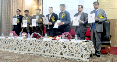
SRINAGAR, MARCH 23: A Two Day National Workshop on Remote Sensing and GIS for Natural Resource and Environmental Management commenced on Friday at SP College Srinagar.
The workshop is being organised by the Department of Environment & Water Management and PG Department of Environmental Science of SP College Srinagar in collaboration with Department of Ecology, Environment and Remote Sensing J&K.
While inaugurating the workshop, Chief Guest, Vice Chancellor Cluster University Srinagar Sheikh Javid Ahmad said that Remote Sensing and GIS is one of the most important subjects with applications in diverse fields including environmental management and climate change. He congratulated the organizers for organising a highly pertinent workshop.
Prof. (Dr.) Yaseen Ahmad Shahin his address quoted Quranic verses and underlined the importance of individual efforts for decreasing the burden on environment. Mr Gh. Hassan Mir, Mass Media Officer Department of Ecology, Environment and Remote Sensing J&K introduced the concept of remote sensing and its applications. In his Key note address Dr. Akhlaq Amin Wani, Division of Natural Resource Management, Faculty of Forestry SKAUST-K gave a detailed account of the basic principles of Remote Sensing and GIS and provided research based examples from Jammu and Kashmir with its applications in the fields of agricultural, solid waste management and watershed management etc.
He introduced the concepts of forecasting future land use and gave examples of how remote sensing and GIS can be used as a tool for managing our natural resources.
Earlier Principal of the college Dr Manzoor Ahmad Lone welcomed guests, experts, delegates, participants, faculty members and others present on the occasion.
Inaugural session of the event was coordinated by Dr Humaira Qadri, Head Department of Environment and Water Management and Vote of thanks was presented by the staff secretary of the college Dr. Shah e Jehan Wani.
